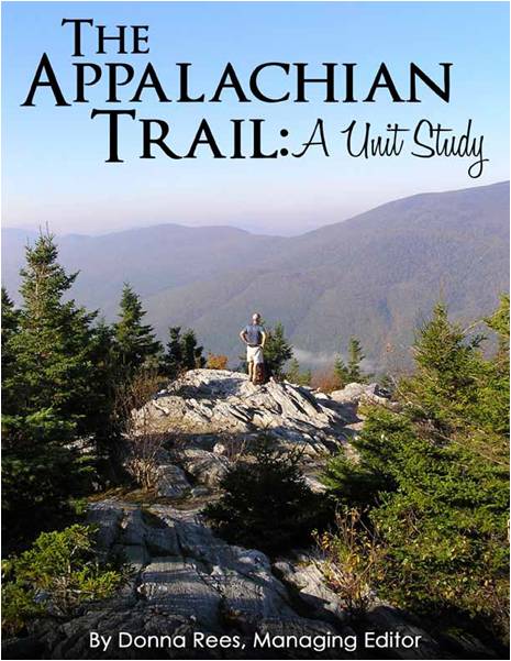
Recently the kids and I had the opportunity to review the Appalachian Trail Unit Study from the The Old Schoolhouse Magazine. It is definitely safe to save that we had a lot of fun learning about the Appalachian Trail.
I have to admit I really didn’t know much about the Appalachian Trail before going through this unit study. We learned that the idea for the Appalachian Trail came from Benton MacKaye and he presented his idea at the Appalachian Trail conference in Washington D.C 1925. The Appalachian Trail (A.T.) was finished twelve years later, in 1937.
The A.T. is one of the longest continuously marked foot paths in the world, at nearly 2200 miles. It runs through fourteen states from Springer Mountain, Georgia to Mt. Katahdin, Maine. The A.T. is part of the National Parks System and is privately managed by 31 trail clubs and several other partners.
One of the facts that the kids found most interesting is that the first woman to hike the entire AT did so in 1955. Her name was Emma “Grandma” Gateway. They were fascinated with the fact that she was 67 years old and the mother to eleven children. What an accomplishment!
The Appalachian Trail: A Unit Study had so many ideas for activities to go along with our study of the A.T. There were several book recommendations to continue reading about the trail. Our local library actually had some newer books that Brock and Adisyn have started reading, Navigating Early by Clare Vanderpool and Nature Girl by Jane Kelley. They have not finished the books but so far they are enjoying them.
One of the suggestions for studying science was to study the types of wildlife found along the A.T. using the site http://www.trailquest.net/ATWILDLIFE.html. We will probably spend several more hours looking at the pictures and reading the descriptions on this site.
The study of the A.T. lent itself well to studying geography. Some of the ideas suggested were:
- make a salt-dough map of the Appalachian Trail and to paint each state a different color
- explore the A.T. by utilizing Google Earth
- learn to identify the fourteen states that the trail goes through and learn their capitals
- learn how to use a compass and many other ideas.
To help reinforce geography, I made a folder map. I printed off two copies of United States maps (I only used the eastern portion where the A.T. goes through). Using the first map I placed it in a file folder and then laminated it. Next I cut out each state on the second map and laminated them individually. The kids can match up each individual state and place it in the correct location on the map.
We are going to plan meals for three days of “hiking” as suggested in the Home Economics section. Then we plan to practice preparing those meals so that when we go camping this summer we will have some delicious recipes to fix.
There were also several suggestions for physical education with our favorite being to create an obstacle course with each obstacle being named after a state in the order that they are from south to north. I think the kids will have a lot of fun with this one! Hopefully we can get it set up later this week when the weather warms up some.
We are going to continue studying about camping, hiking and conservation using some of the resources recommended in the unit study, as Brock, Adisyn and Eli are enrolled in Outdoor Adventures in 4-H this upcoming year. Maybe one day we will even visit some locations along Appalachian Trail and hike part of it. We have really enjoyed the Appalachian Trail Unit Study and I can safely say that I would recommend this unit study to anyone wanting to learn more about the Appalachian Trail.
I completed this review for The Old Schoolhouse Magazine Review Crew.
Blessings,
Jennifer
